This page sponsored
in part by:
This page sponsored
in part by:
|
Collinsville,
Oklahoma
August 20, 2006 Miscellaneous News |
|
This web site is brought to you by
the Newspaper
Museum In Collinsville and the other advertisers appearing on these
pages. If you would like to provide content or advertisements ...
call Ted Wright (918) 371-1901 or send email to wrightted@aol.com. |
 |
|
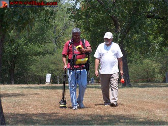
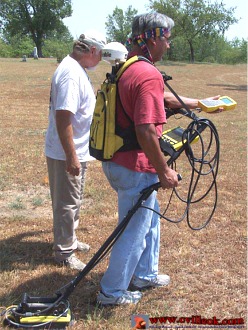
Scanning
Collinsville's Victory Cemetery Saturday (Aug. 19, 2006) was Robert
Jones, a consultant to the Cherokee Nation. Robert was using a ground
penetrating radar (GPR) to attempt to locate unmarked graves there.
According to Dr. Gloria Sly (Cherokee Cultural Resources) she and Robert
were scanning several old cemeteries in the Cherokee Nation and would
later provide a map of the results for each cemetery. Brad Francis was
assisting Jones and placing a marker when an underground change was
noted by the GRP which also uses a global positioning satellite (GPS)
system to record the precise locations. (More
on Victory Cemetery)
|
 |
 |
|
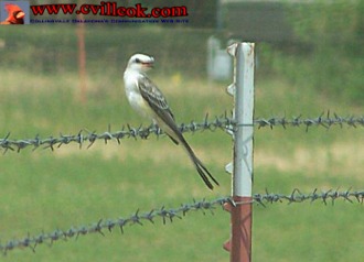
This sissortail flycatcher was willing to pose about two car lengths ahead of my car Saturday, but everytime I got closer he would fly down this barbed wire fence, land and wait for me to get "too close" again. |
 |
 |
|
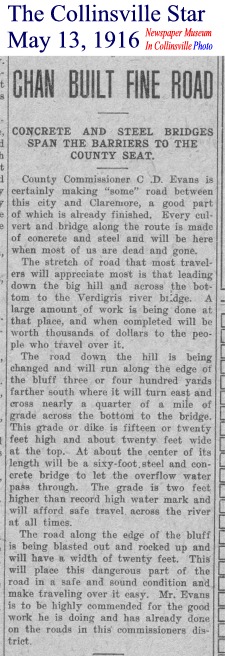
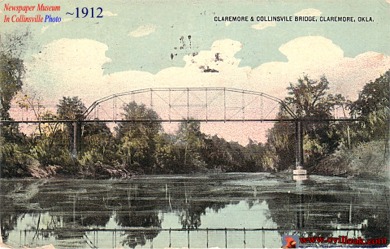
I
don't know if the old bridge (above) connecting Collinsville and Claremore
over the Verdigris River was at the same location as the current Highway
20 bridge undergoing repairs this summer. Claremore was Collinsville's
county seat from statehood until 1918 as Collinsville was in Rogers
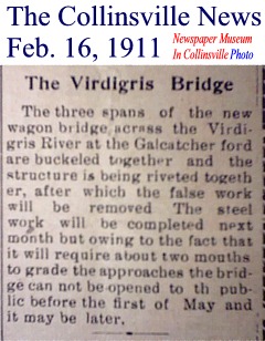
County until switching to Tulsa County. I had guessed the 1912 date
for the undated postcard above based on the 3 spans mentioned in the
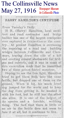
1911 story above. The two 1916 stories below talk about another bridge
building effort which does appear to match today's Highway 20 location.
The Rogers County Road Commissioner in 1916 (Chan Evans) was my great-grandfather.
Architect Harry Hamilton also designed the front brick/glass (in 1925)
for the Newspaper Museum In Collinsville building (at 1110 W. Main)
and many other Collinsvile buildings.
|